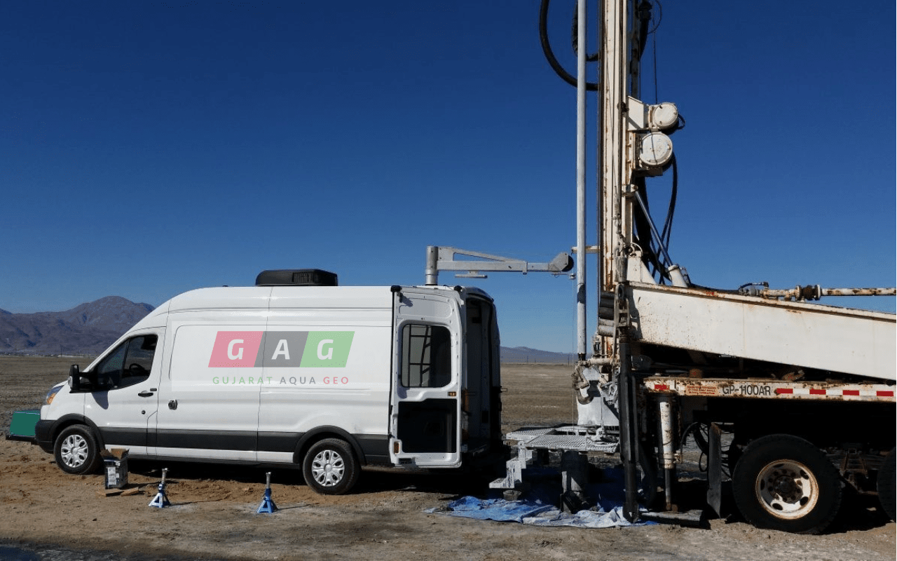
Gujarat Aqua Geo Technical services in Gujarat’s leader in providing hi-tech Geo scanning for boreholes drilled for the Groundwater, oil and gas, mineral, and geothermal exploration.

With the state of the art equipment for Geo Logging and by using superior American technology our Geo-logging service not only provide accurate data but also ensuring that data is more reliable and you get the correct decision from our expert panel of
Wireline logging is performed by lowering a ‘logging tool’ into the borehole to record geophysical properties using a variety of sensors.
Logging tools measure the natural gamma ray, electrical, acoustic, stimulated radioactive responses, electromagnetic, nuclear magnetic resonance, pressure and other properties of the rocks and their contained fluids.
Borehole logging (also called well logging or downhole logging) provides in-situ information in addition to the direct geological information. Geophysical borehole logging is the process of measuring physical, chemical, and structural properties of penetrated geological formations using tools that are lowered into a borehole on a wireline cable.
The measurements are electrically transmitted via cable to the surface where they are recorded in digital format as a function of depth. The physical properties of the rock strata and a lithological classification can be derived from the data.
The Benefit of Borewell Logging
- Provides information about the sub-surface that may be unobtainable from surface methods or sampling
- Measurements are made in situ
- Repeatable
time lapse measurements to observe changes
Continuous data, unlike sampling - Only means of obtaining data when there is no information available
Helps with the design and location of water wells - Allows the vertical and horizontal extrapolation of data derived from boreholes
- Supplements geologists’ or drillers’ logs and geophysical surveys
The key part in geotechnical, environment and exploration programmes
Borehole Geophysics Can Identify:
- Groundwater Producing or Receiving Zones
- Lithology Correlation/Geologic Structure
- Stratigraphic Correlation/Depositional Environment
- Formation Fractures and Orientation
- Joints or Discontinuities
- Borehole Diameter
- Breakout Zones
- Depth to Groundwater
- Well Construction Information
- Relative Porosity/Permeability
- Hazardous Waste Evaluation
- Water Quality
